
Riprap and Stone Revetment
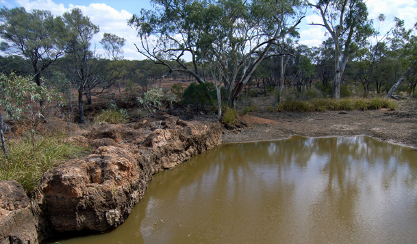
Loosely placed rock or stone facing along the bank toe resists hydraulic forces during high-flow events. Commonly used where vegetation alone cannot hold the bank.
Read article →Bank erosion along small watercourses can undermine foundations, damage gardens, and alter drainage patterns. This resource covers the methods used to stabilise creek banks in Italy, from planted vegetation to stone revetments and ongoing channel observation.
Topics
Three main approaches are used together or independently, depending on channel conditions, slope, and flow velocity.
Loosely placed rock or stone facing along the bank toe resists hydraulic forces during high-flow events. Commonly used where vegetation alone cannot hold the bank.
Read article →
Deep-rooted native grasses, shrubs, and riparian trees bind soil particles and reduce surface runoff. Plant selection varies by region across northern, central, and southern Italy.
Read article →
Regular observation of channel geometry, vegetation condition, and bank undercutting allows early intervention before major structural damage occurs.
Read article →Background
Erosion along small watercourses near residential areas is driven by a combination of hydraulic, geological, and land-use factors. Increased impervious surface in upstream catchments accelerates runoff and peak flows, which exert greater shear stress on unprotected banks.
In Italy, mountain torrents and hill-country streams carry significant sediment loads and can shift their channel position quickly after heavy rainfall events. Properties located on the outer bends of meanders or downstream of constrictions are particularly exposed.
Regulatory requirements in many Italian regions (Regioni with active PAI — Piano di Assetto Idrogeologico) define setback distances and place restrictions on structures within flood-risk zones. Landowners are advised to consult local authority maps before undertaking any bank work.
Key erosion drivers:
Italian regulatory context:
Each basin authority (Autorità di Bacino) produces hydraulic risk maps. Works within risk zones typically require a hydraulic compatibility assessment (verifica di compatibilità idraulica). Contact your Comune or Regione for current zoning information.
Contact
Use the form below to submit a question or request additional information. Fields marked with * are required.